Improve your street sweeping program and benefit your community.

- Reduce localized flooding: By removing debris and preventing clogged stormwater systems, you can minimize the risk of flooding in your community.
- Extend infrastructure lifespan: Regular street sweeping prevents sediments and debris from entering your stormwater infrastructure, ultimately extending their longevity and reducing maintenance costs.
- Meet pollution reduction targets: Compliance with mandated pollution reduction targets, such as Total Maximum Daily Loads (TMDLs), becomes more achievable by implementing effective street sweeping practices.
Navigate with Confidence
With this 32-page guide as your compass, you will delve deeper into the considerations and techniques employed in a data-driven street sweeping program. Each section will provide you with insights and actionable strategies that can be tailored to your community and stormwater program. From documenting existing sweeping efforts to harnessing the power of data-driven decision-making, you will pick up tips to get more from your current sweeping efforts.

Consider Your Geography
Spoiler alert, we are huge fans of Esri ArcGIS, so rest assured, your GIS team should will love that you are considering recommendations from Esri's go-to stormwater partner.
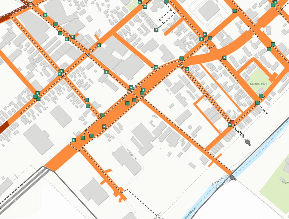
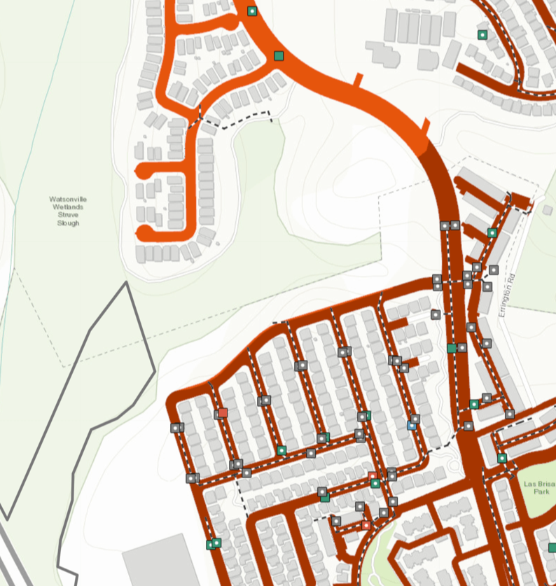
Improving your street sweeping program requires a geographic approach prioritizing high-priority road networks. Understanding the varying levels of debris accumulation and associated risks to local flooding and water quality is crucial. Conducting a spatial analysis can provide valuable insights for identifying priority roads based on factors such as:
-
Land use: Assess the types of areas (residential, commercial, industrial) contributing to debris accumulation and pollution.
-
Car density: Identify areas with a high concentration of parked cars, as they accumulate oil, grease, and hydrophobic pollutants.
-
Impervious coverage: Consider the presence of significant impervious surfaces, which affect runoff patterns and pollutant transport.
The guide offers insights into evaluating and considering those and other factors. If that sounds too complicated, you can just check out how our software (2NFORM) streamlines that entire process and gives you the necessary answers and insights.

Optimize Your Efforts
Prefer to Chat?
We are friendly stormwater / GIS geeks

Privacy Policy | © 2023 2NDNATURE Software Inc. | Info@2ndnaturewater.com
